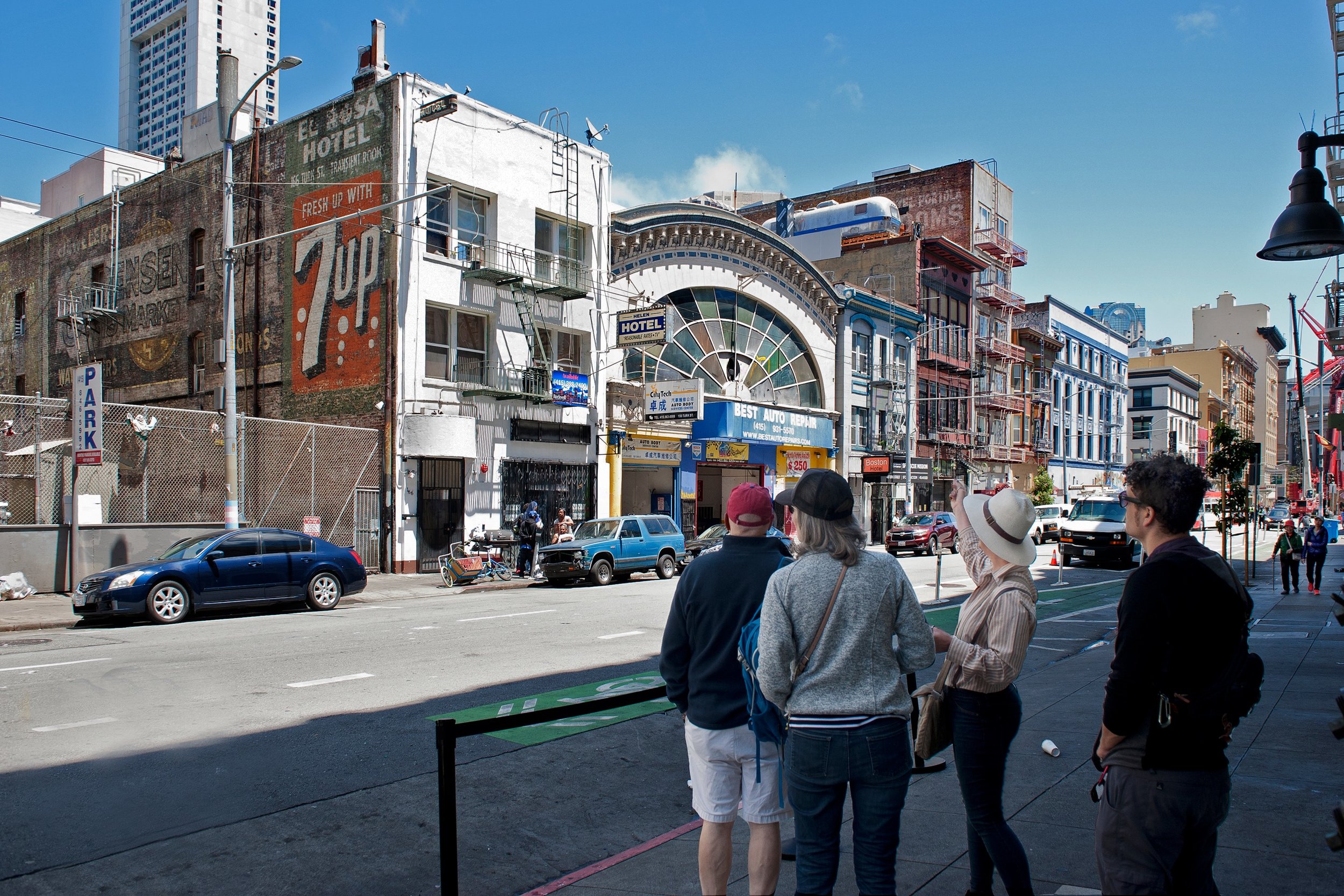
The San Francisco Ghost Sign Mapping Project
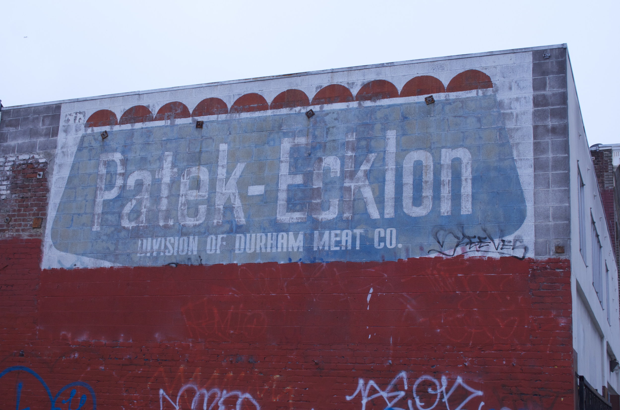
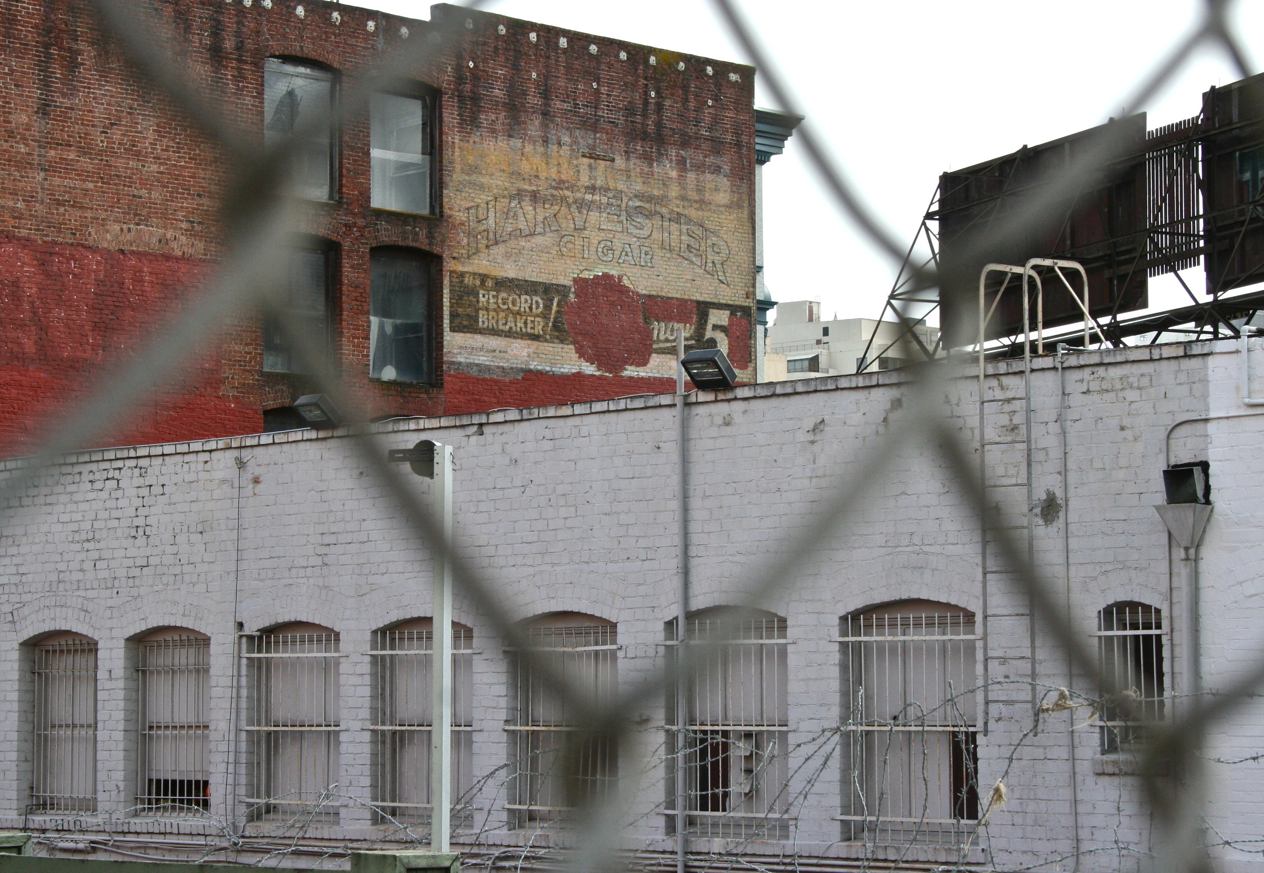
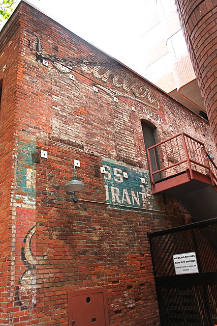
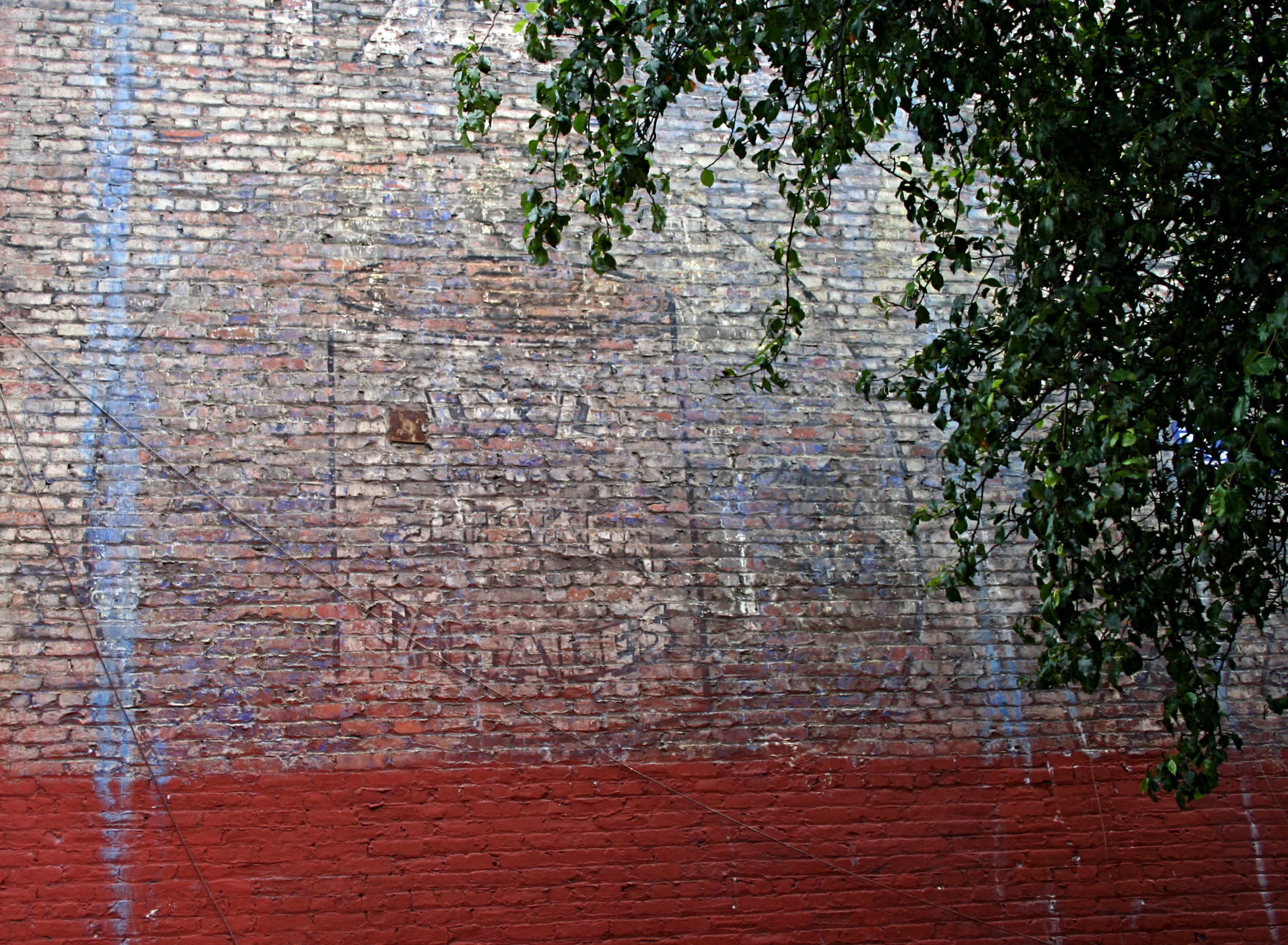
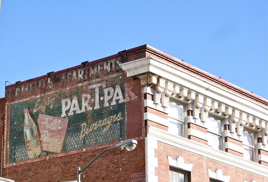
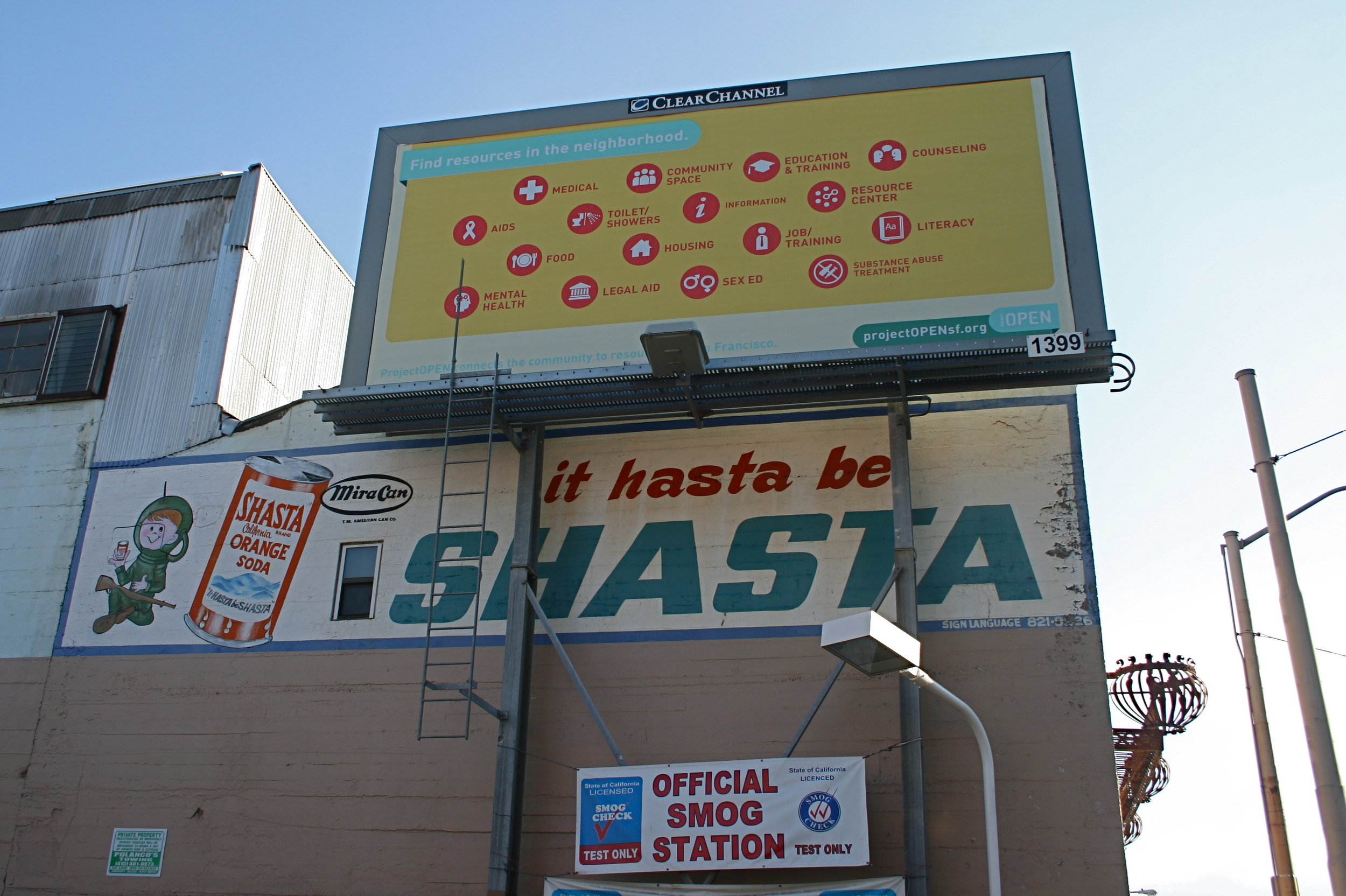
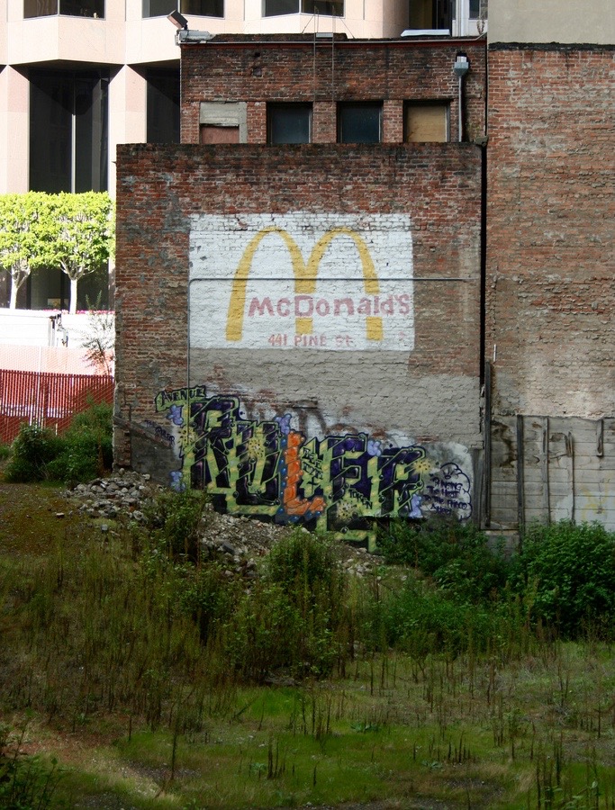
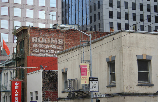
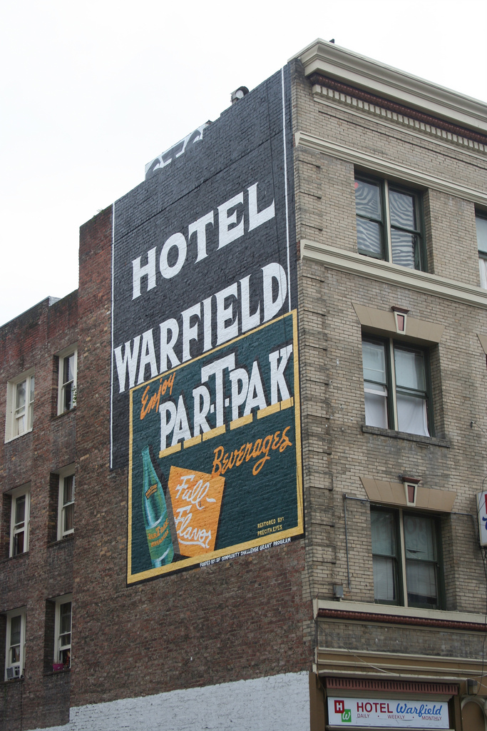
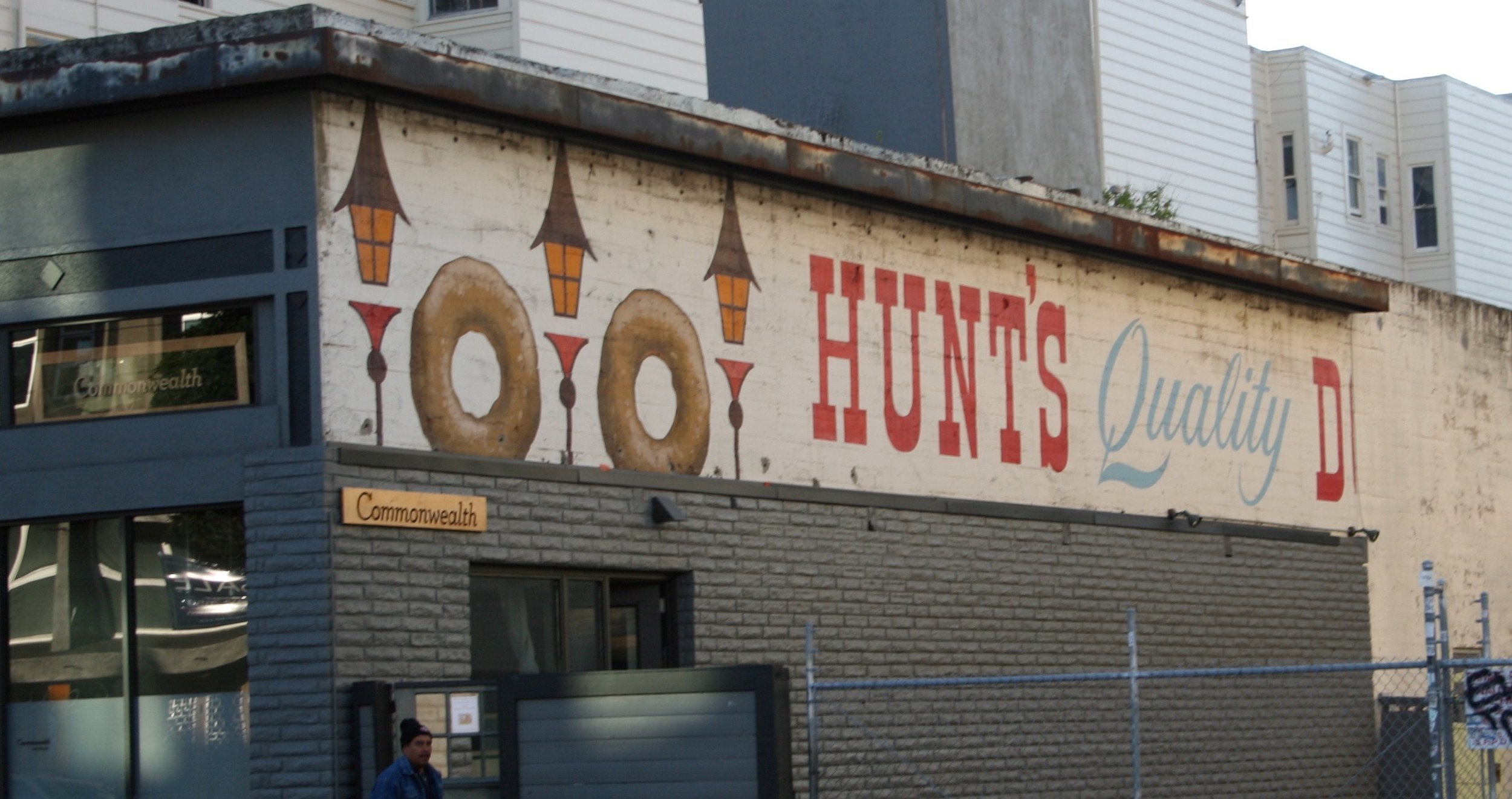
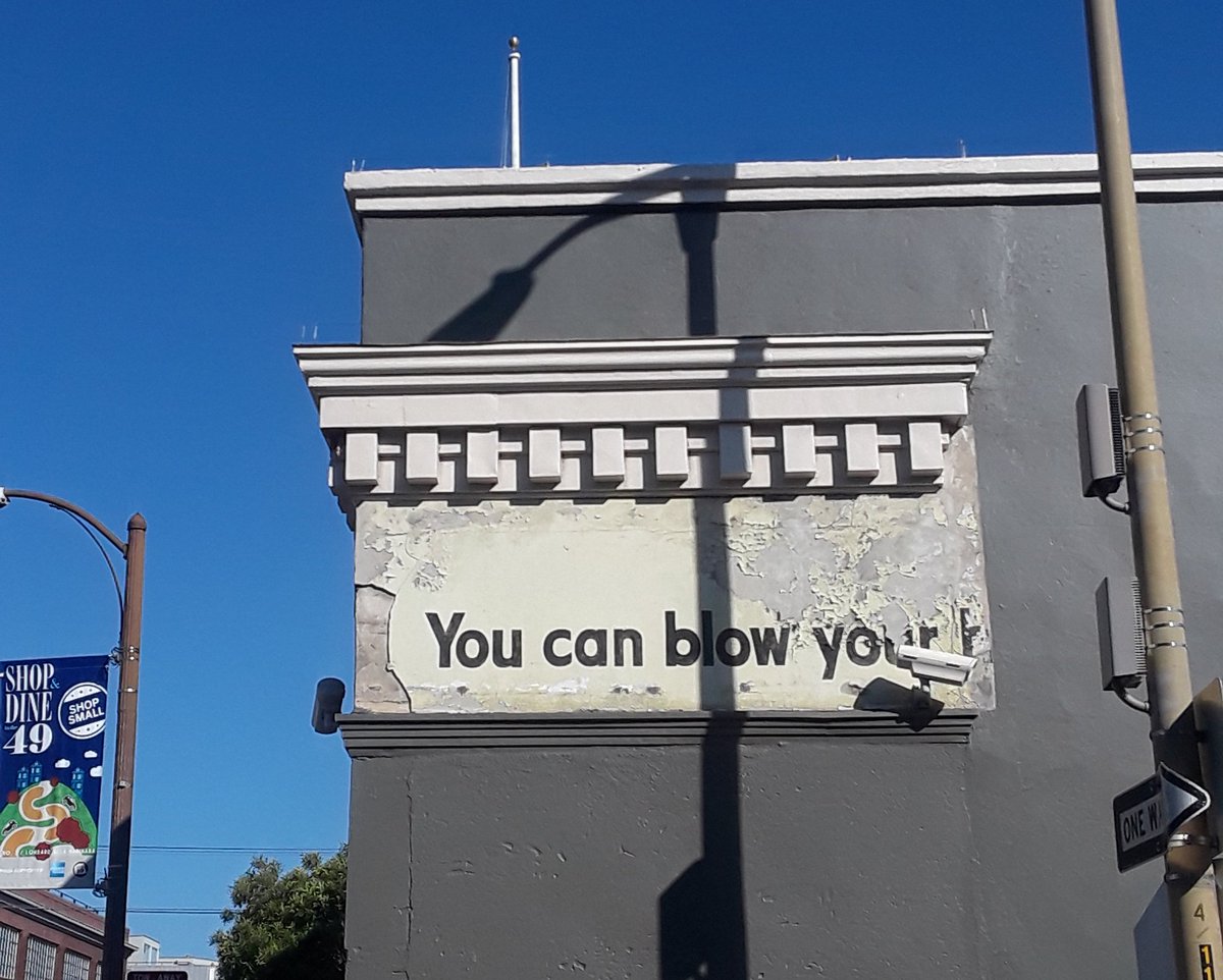
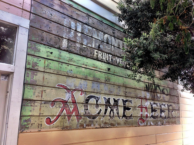
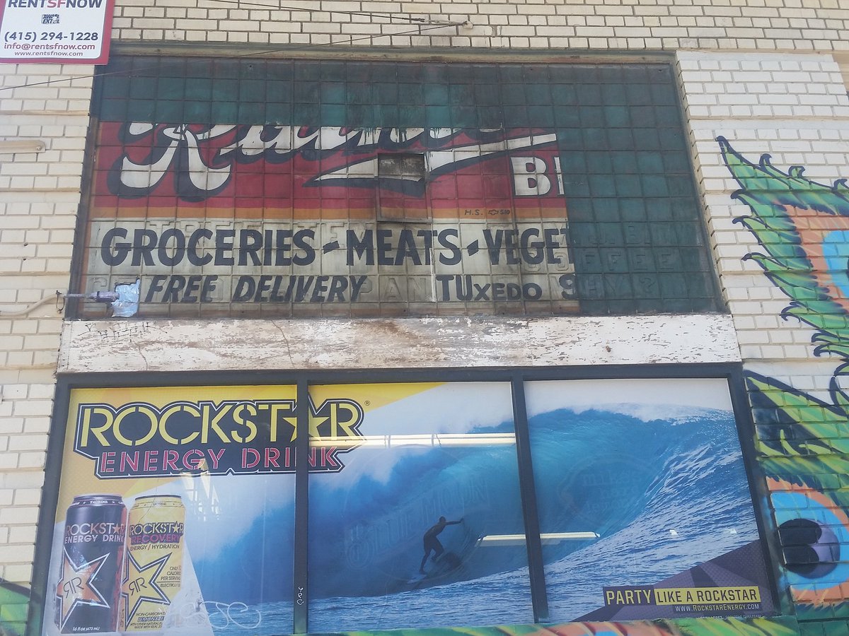
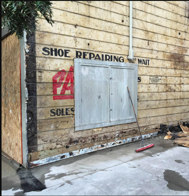
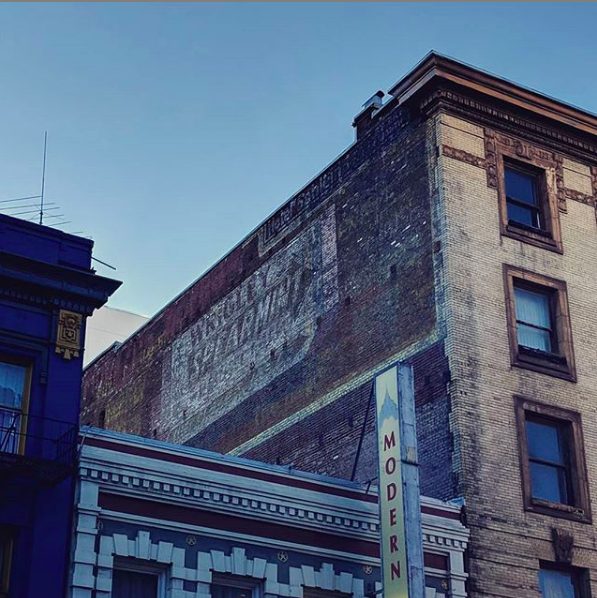
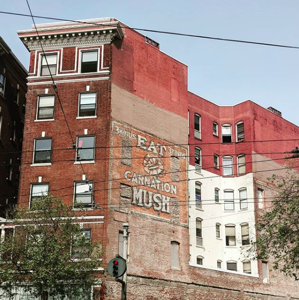
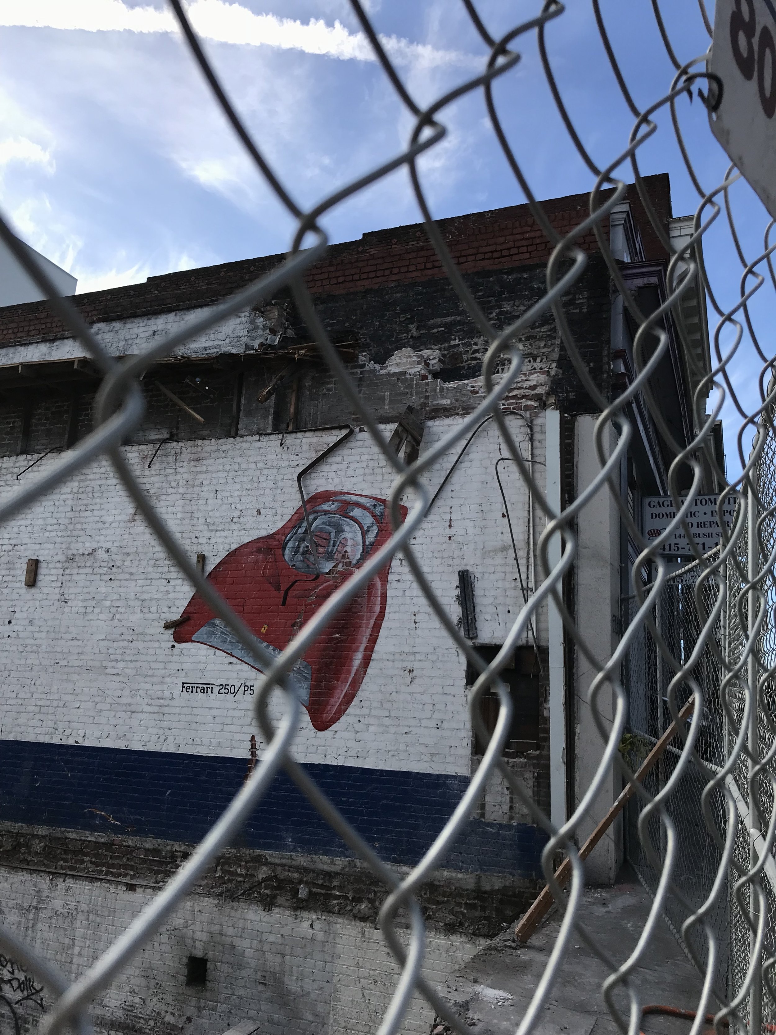
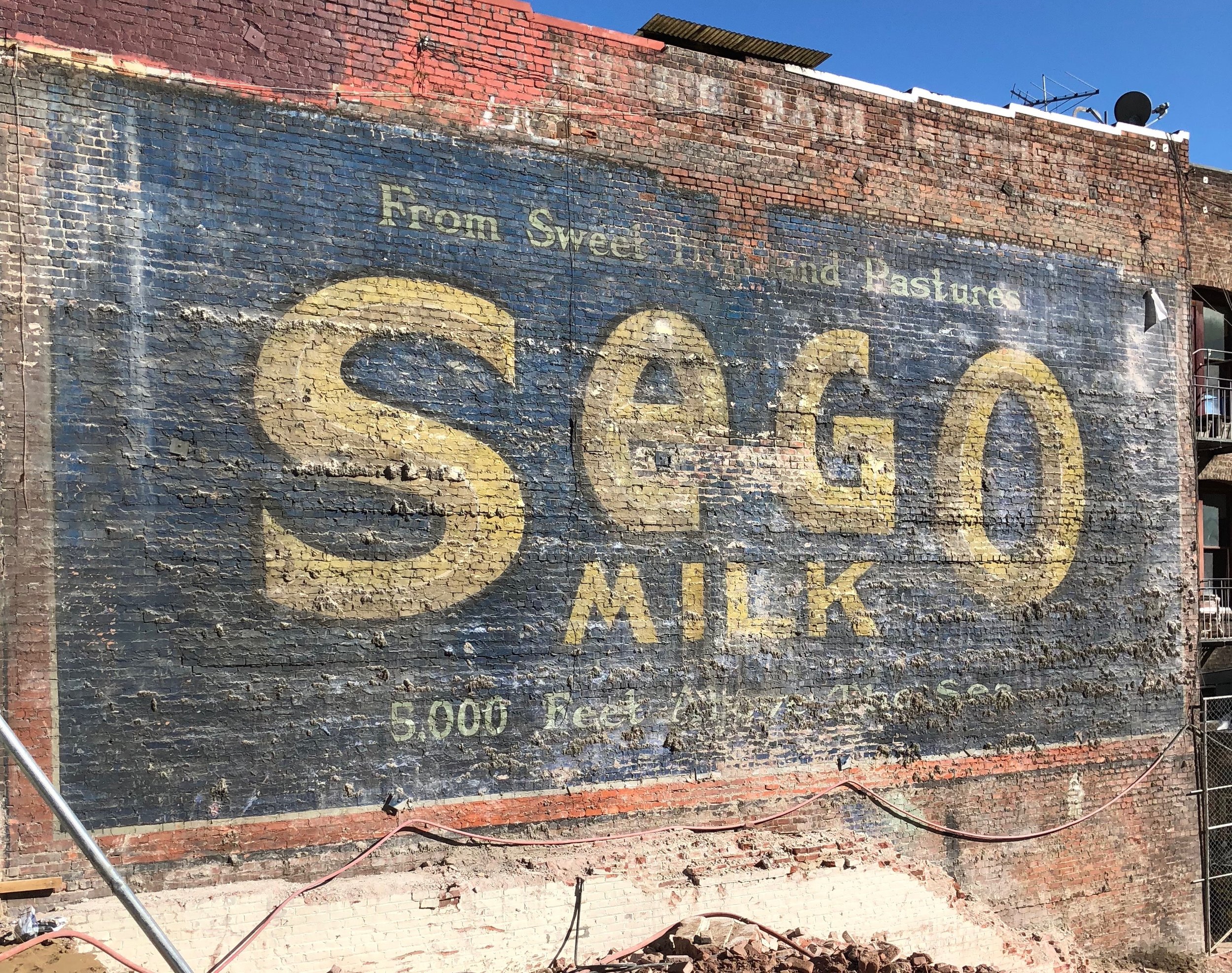
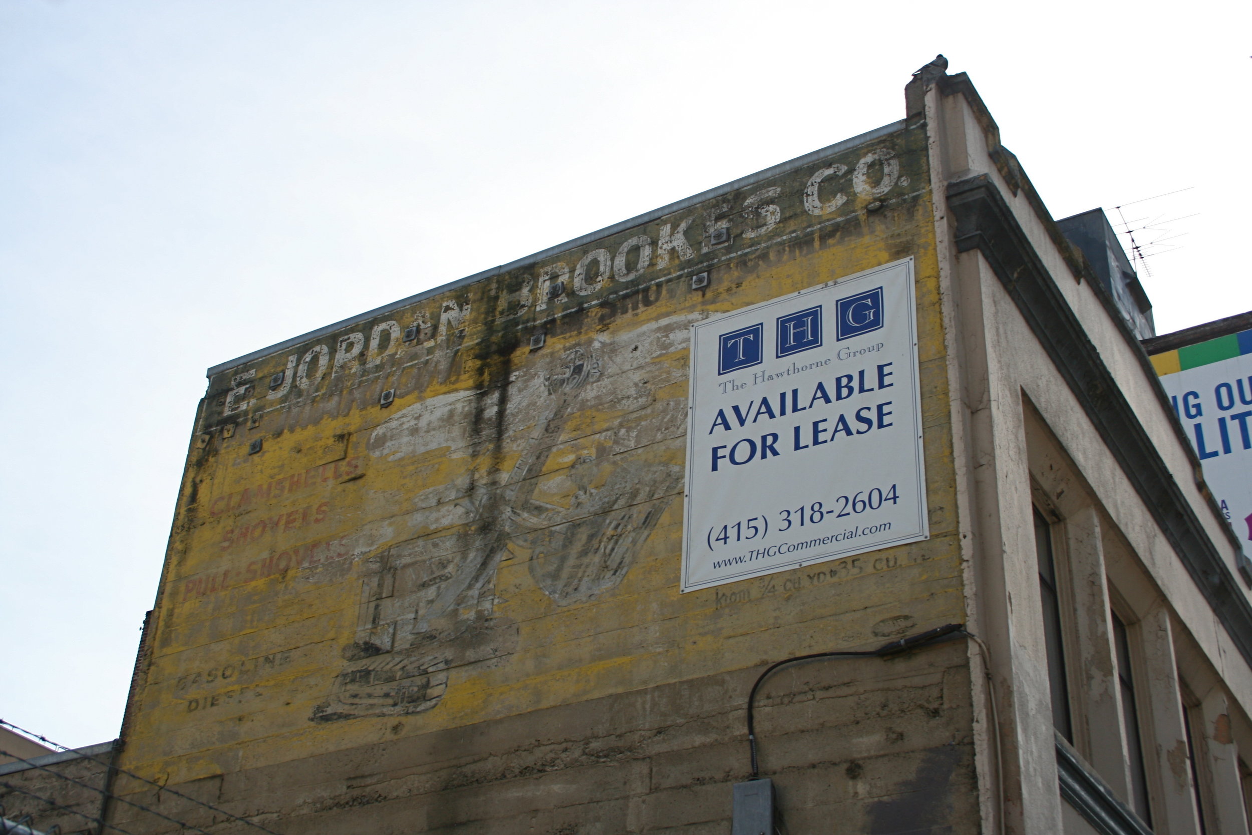
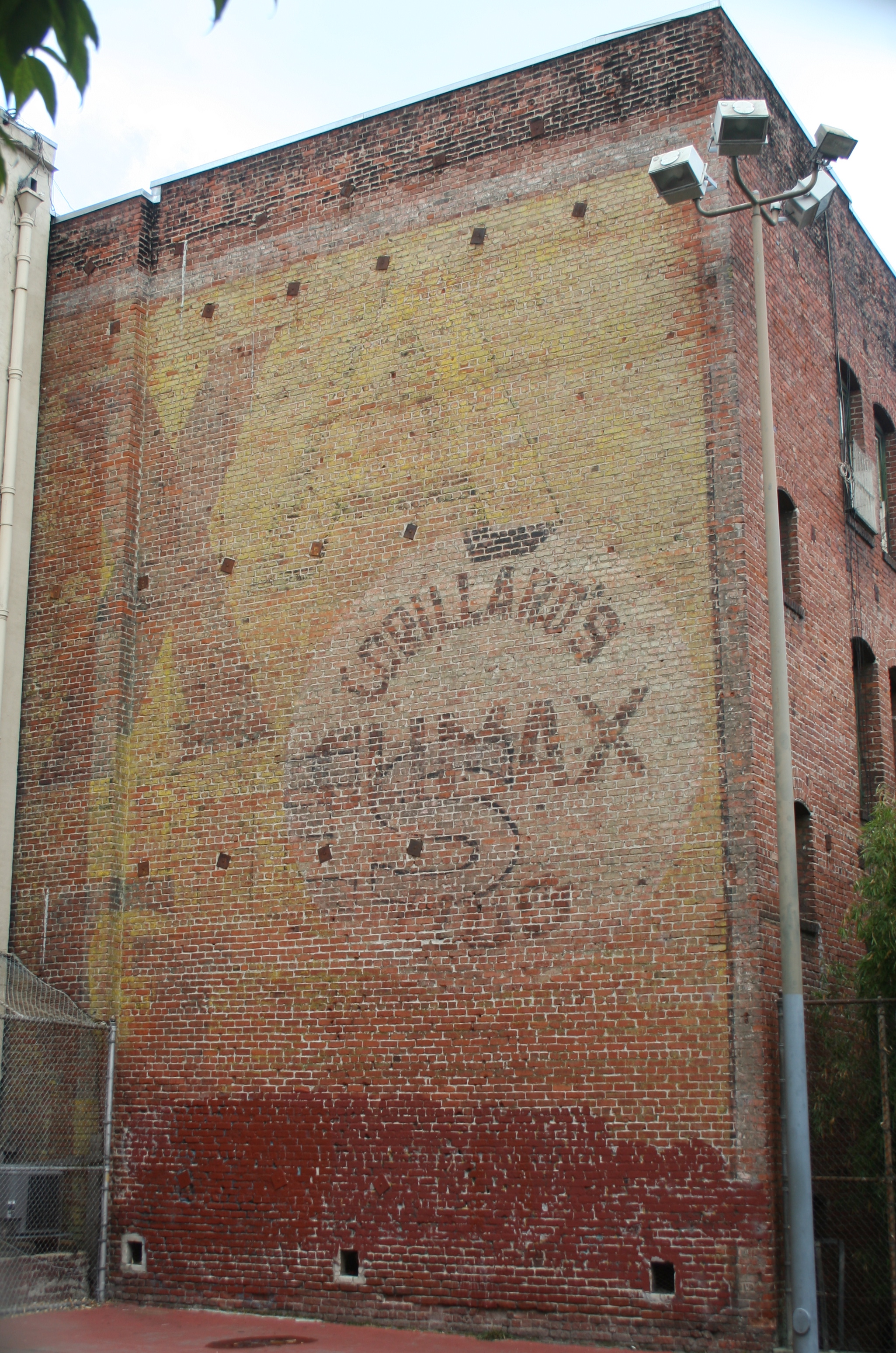
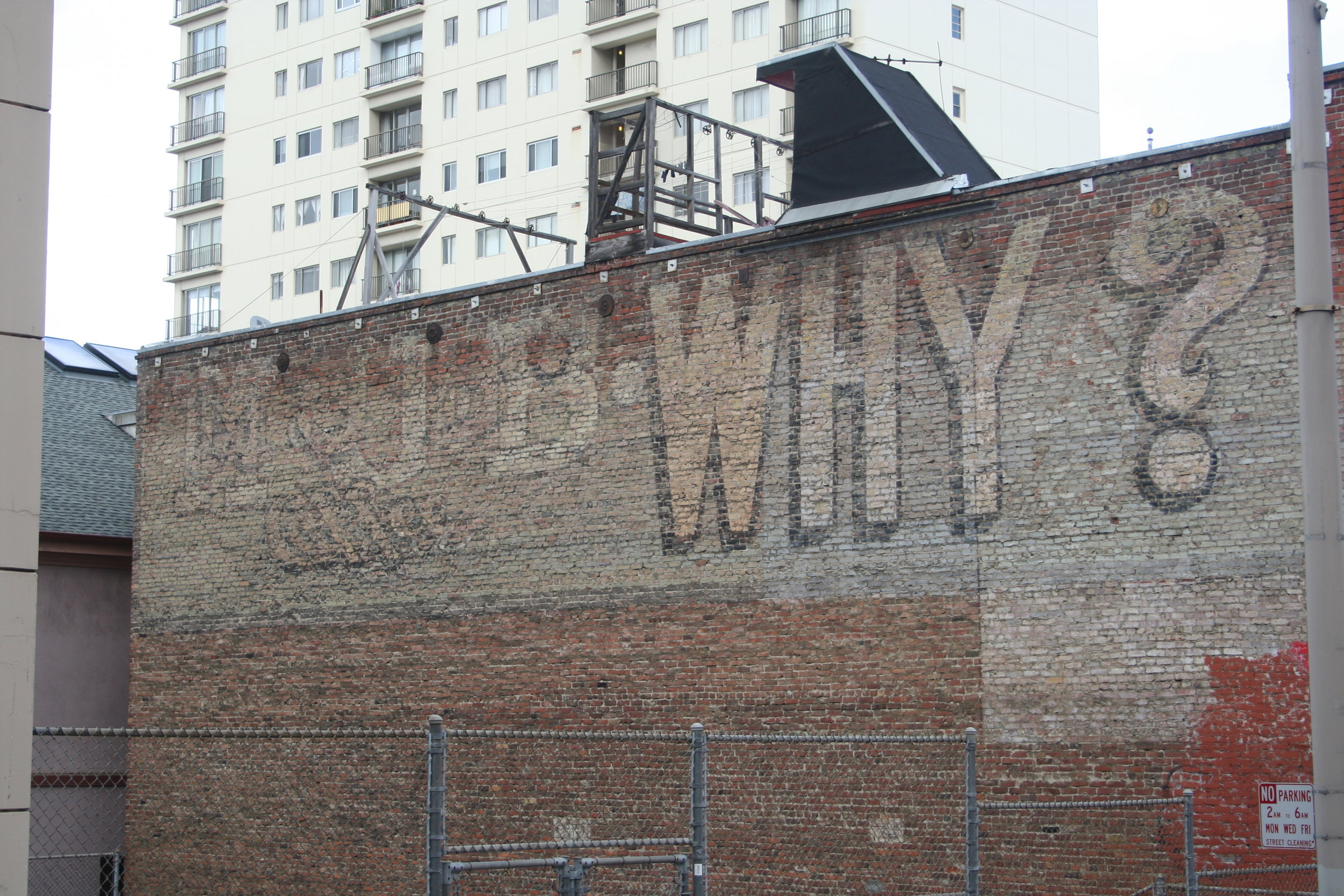
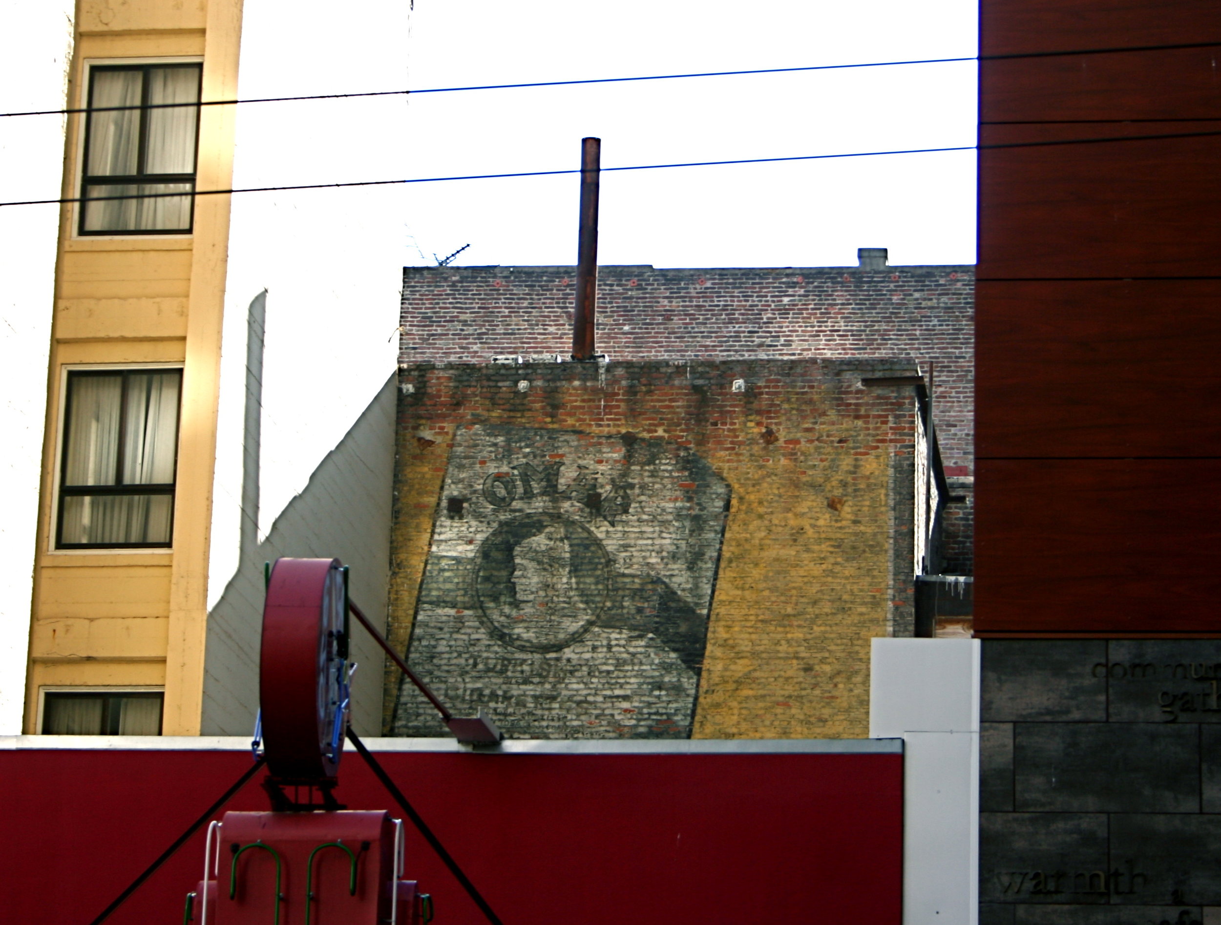
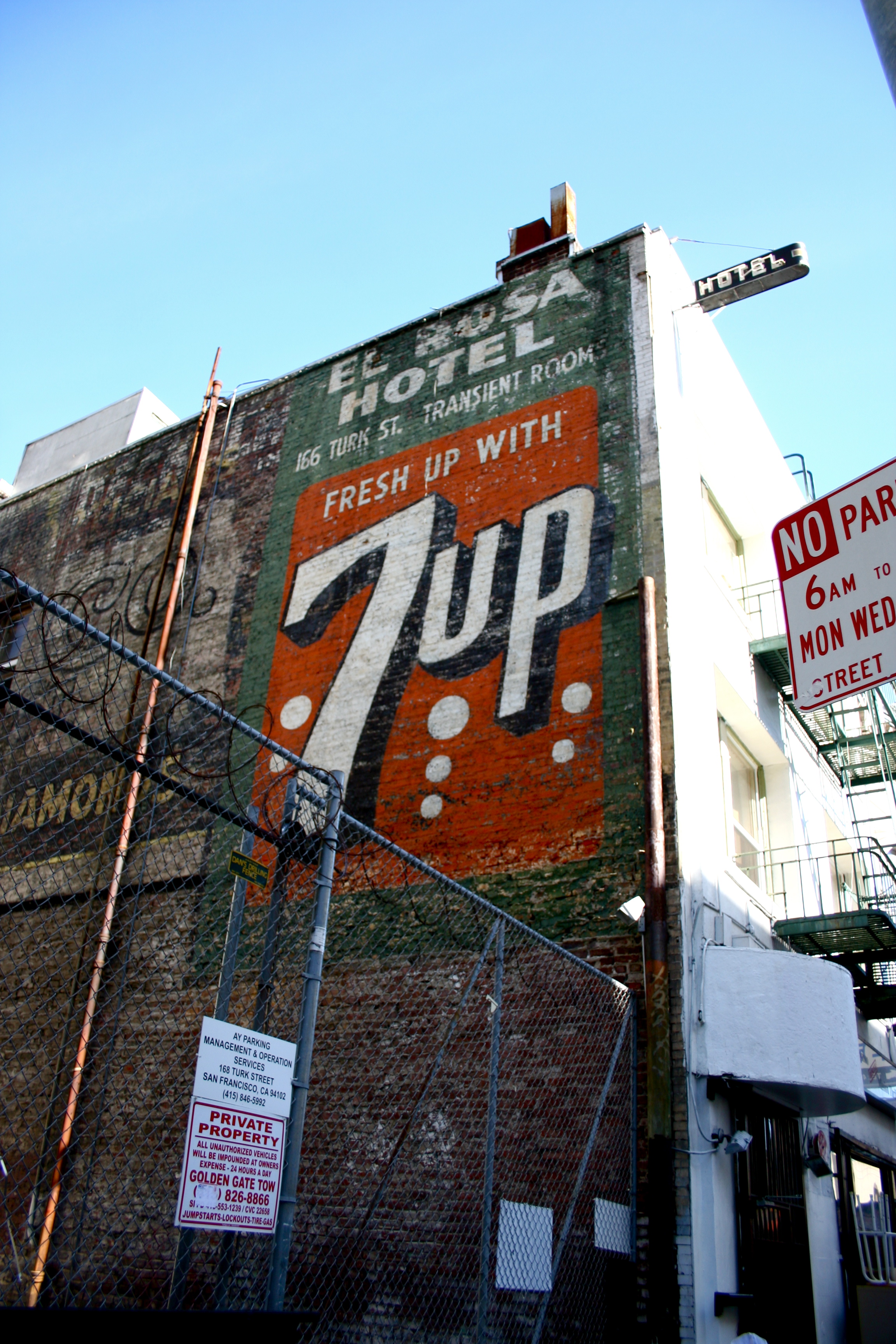
The San Francisco Ghost Sign Mapping Project is a social practice project dedicated to mapping the city’s past, present, and to a certain extent, future development trends via the lens of the San Francisco Bay Area’s hand painted advertising signage. Started in 2011, the project revolves around a Google map including the location, history, and status of San Francisco + the East Bay’s historic hand painted signs. To date, 450+ signs have been documented across the two sides of the Bay. The map acts as a living document that is updated as signs are uncovered, restored, removed, or otherwise altered. The map is supported by a lecture series, walking tours, educational social media presence, and an in-progress book.
You Are Here: California Stories on the Map, OMCA 2020
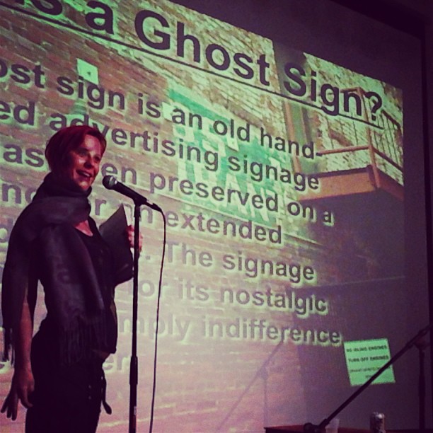
Lecture, spring 2012
Ghost Signs as Heritage
This project was born because I think best when walking and am happiest when alone in a crowd. In times of stress, including the years after my father’s death in 2010, I would walk the city deep in thought, taking photos of the cityscape along the way. Coming from a family of antique collectors, I had always been drawn to signs and the craft entailed in creating them. During my wanderings I started photographing many sign-related subjects, including hand painted sandwich boards, bar signs featuring martini glasses, and the window decals on laundromats. Slowly, my subject whittled down to just ghost signs.
The more I photographed them, the more I was drawn into the research component, as there was a relative void of local information on the topic. There were lots of people taking photos of old signs, and there were lots of people writing and blogging on micro-hood histories, but no one had really delved into a combination of the two. And so the San Francisco Ghost Sign Mapping Project was born.
Larkin at Geary - one of the first ghost signs documented in 2011.
Polk at Bush - one of the first ghost signs documented in 2011.
Ghost Signs As A Lens
Why did ghost signs speak to me? The heyday of San Francisco’s handpainted signage was from the 1906 earthquake to the mid-1950’s when the cost of large format printing caught up with the cost of sign painting. While some companies and businesses continue to hand paint their signs, it’s generally for aesthetic and nostalgic reasons. Their function is purely anachronistic/decorative, where once it was driven by economic necessity.
This older style of sign is a fixed point in the historio-geography of San Francisco and the map is a living document updated as the constellation of those points changes. After all, the city isn’t creating any more of them; it’s simply shuffling around the skyline to reveal and obscure them. By studying these points, by immersing ourselves in their locations and histories, we can use them as a lens to better understand the trends at play upon the city at large.
For instance, San Francisco changed forever at 5:12am on April 18th, 1906 when the great 1906 earthquake struck. East of Van Ness, there are few surviving remnants of pre-earthquake San Francisco. While reconstruction started immediately, it took well into the 1920’s for the skyline to be filled in completely. In the meantime, whole blocks looked a little bit like a jack-o-lantern’s smile with large toothy gaps left open for a decade or more. As development progressed, and that jack o lantern smile was sent to the orthodontist, signs were constantly being impacted, creating an accidental record of post-earthquake reconstruction that is legible to this day.
Ghost Signs As Site Specific Installations
I often like to think of ghost signs as unique site specific installations. Each sign is an aesthetic object, a work of craft, that carries a whole suite of historic signifiers with them. Much as we can unlock the meaning of an art piece by asking questions of it, we can also unlock the meaning of old ghost signs to access a better understanding of urban space.
Where are the bulk of San Francisco’s signs? What neighborhoods have seen the most signs revealed? The most signs removed? The most signs restored? What are the commonalities, if any, that can be found between the signs? Why have some signs weathered better than others? Why have some signs been restored and not others?
These questions can help illuminate unique new angles to to the signs and stories of post-earthquake San Francisco. Angles which another historio-geographic lens might not provide due to being either more permanent (neon signs), more ephemeral (graffiti), or more ahistorical than ghost signs. For example, why would a brick hotel built in 1910 advertise a steel frame building? Why were there so many Turkish cigarette ads in the teens? Why are Rainier Beer signs relatively common in San Francisco? What was the original vantage point for any given sign partially/completely hemmed in by its neighbors?
Street Level View
Google Earth View
Buildings with a potential view of the sign
Ghost Signs As A Virus
Once you start to see these signs, it’s hard to unsee them. A glimpse down an alley here, a glimpse high on a wall there. They become a piece of viral knowledge, an interloper or perception shift that changes how one understands urban space and parses their travels through it. The walking tours have been critical to introducing people to this lens and perpetuating this knowledge. The “Aha!” moment captured in the below quote encapsulates how this information is transmitted through the direct impact and action of walking.
“The Ghost Signs walking tour is a delightful reminder to pause and look around, look carefully, look closely, and most especially, look up! For those of us more often caught up in getting from point A to point B, Kasey has done the (literal) legwork to find these subtle and half-hidden markers of local history, and the research to put them in context.” - attendee J.A. Fitzpatrick
If the map is about a passive understanding of development trends, the walking tours are an active exercise in shifting one’s perceptions to assume this new historio-geographic lens. It is the vector point for transmission of this memetic load and new vantage point on the city.
Talks
Nerd Nite SF (2021)
Virtual Tenderloin Walking Tour with SFNeon, Neon Speaks (September 2020 )
Roll Over Easy - Ghost Signs! (July 2020)
Virtual Tenderloin Walking Tour with SFNeon and the Tenderloin Museum (May, June 2020)
San Francisco Library Connect With Tech Week (May 2019)
San Francisco History Days (March 2018 & 2019)
Obscura Day (2016)
CCA, Mobile and Geolocated Storytelling Class (2014)
Nerd Night SF (2014)
Salted Lash Gallery Show (2013)
Selected Press
Ghost Signs Of San Francisco: Forgotten Treasures Hiding in Plain Site
The Best Walking Tours in San Francisco For All Types of People
East Bay's historic ghost signs: How some recent discoveries led to a new urban exploration project
Nerd Nite SF returns to Rickshaw Stop with guerilla gardening and lots of cursing
@sfstandard The next time you’re walking around San Francisco, take a look up and you may happen upon a little glimpse into the city’s history in the form of its “ghost signs.” Since 2011, Kasey Smith (@sfghostsigns) has uncovered and catalogued every sign possible with photos and an interactive map to share online with the public. Naturally, we wanted to check a few out. Have you come across a ghost sign that’s caught your attention? #SFStandard #SanFrancisco #BayArea #History #OldBuilding #DowntownSF #SFHistory @SF Ghost Sign Project ♬ Astringent and nimble electric piano jazz (1017112)
The San Francisco Ghost Sign Mapping Project Gallery
